Playa Carrillo: the palm-lined crescent 15 minutes from Sámara
Playa Carrillo is a 1.5-kilometre crescent of pale sand eight kilometres south-east of Sámara, backed by a single row of coconut palms and no buildings at all. The bay shape kills the swell, so the water is flat and there is nothing to surf; the palms mean it is the one beach on this stretch of coast with real shade at midday. It is paved the whole way from Sámara and parking is free.
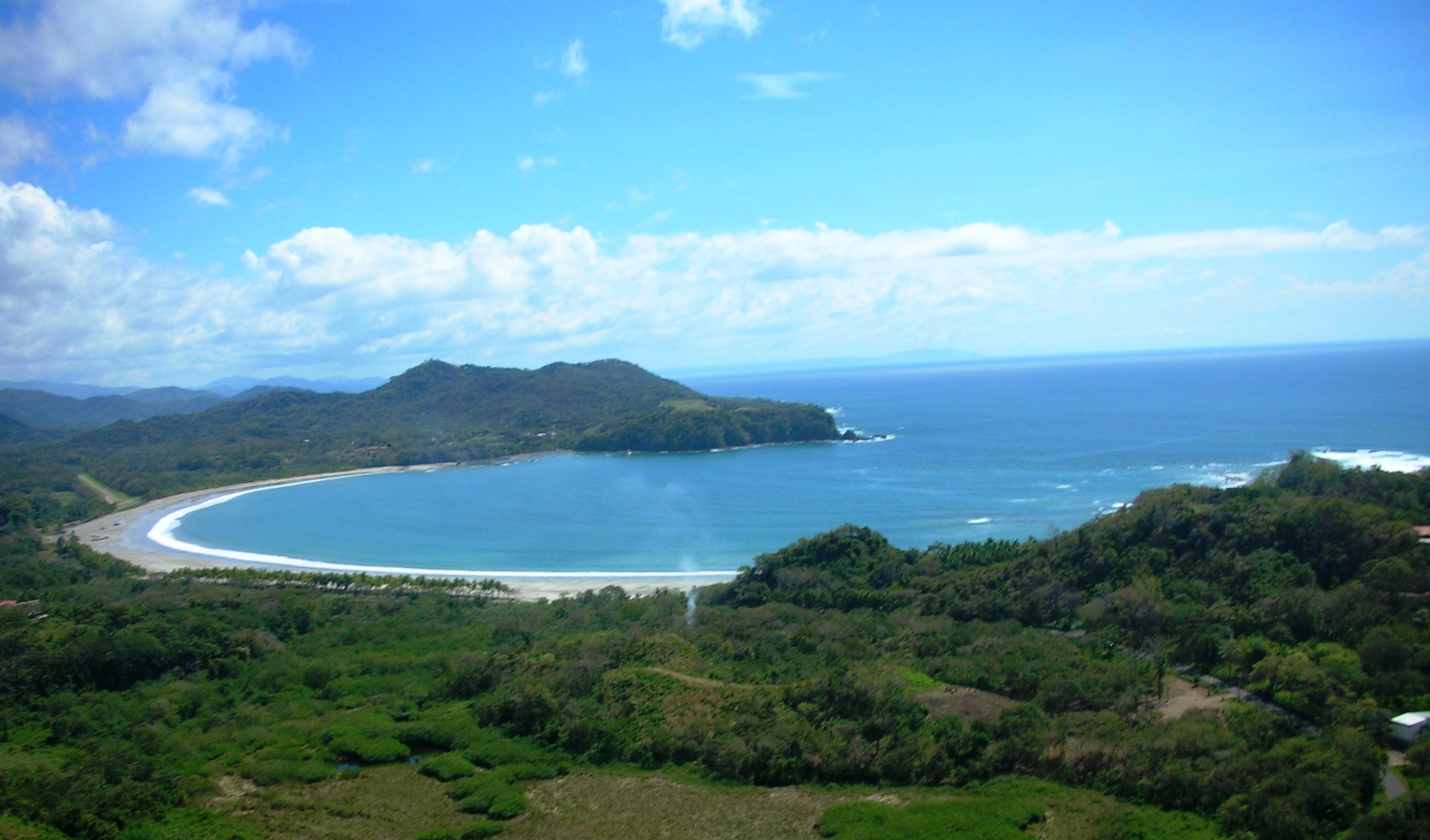
Photo: Jackiemora01, CC BY-SA 3.0 · source

The facts
| Swimming | Calm — safe on most days |
|---|---|
| Rip currents | A protected crescent with no river mouth and no permanent rip. The east end, under the headland, gets a current on a big swell. |
| Tides | Low tide roughly doubles the width of the sand; high tide brings the water up to the palms in places. |
| Surf | No rideable waves — The bay shape kills the swell — there is nothing rideable here, which is why it stays quiet |
| Snorkelling | No |
| Water | 28 °C |
| Getting there | Paved road all the way — Paved the whole way from Sámara; the road runs along the back of the beach |
| Parking | Free, unpaved, in the shade of the palm row that runs the length of the beach |
| Drive from Sámara | 15 min |
| Length | 1.5 km |
| Sand | Pale, fine and almost white at the western end |
| Shade | Yes |
| Lifeguard | No |
| Bandera Azul | Yes |
| Facilities | Toilets, Showers, Picnic tables, Sodas at the road, Boat launch |
| Best months | Dec–Apr; the palm shade makes it the one beach here that is bearable at midday in March |
| Where it is | Playa Carrillo, Puerto Carrillo, Hojancha, Guanacaste — 8 km south-east of Sámara on Route 160 |
| GPS | 9.86220, -85.48280 |
Not yet checked in person — compiled from published sources
Why is there nothing built on Playa Carrillo?
Because the road runs behind the palms rather than in front of them, and the strip between the two is protected. Everything — hotels, restaurants, the airstrip — sits up the hill or along the road, and the beach itself has a row of coconut palms, a line of picnic tables and nothing else. It is the reason photographs of this beach look the way they do, and the reason it stays quiet even when Sámara is busy.
Is the water safe?
It is the calmest water within an hour's drive. The bay is a closed crescent with no river mouth and no gap in the headlands, so there is no permanent rip and, on most days, no surf either. The east end under the headland picks up a current on a big swell; the rest of it is as close to a swimming pool as this coast gets.
When should you go?
Midday, which is the opposite of the advice for every other beach here. The palm row throws real shade from about eleven, and Carrillo is the only beach on this coast where you can sit out the hottest three hours without a tent. It is also worth timing against the tide: at low water the sand roughly doubles in width, and at high water the sea comes up to the palms in places.
Carrillo has carried a Bandera Azul rating, Costa Rica's audited beach standard for water quality and sanitation. There are toilets and showers at the western end, A small, family-run eatery serving Costa Rican home cooking at local prices — the neighbourhood diner, and where Costa Ricans actually eat lunch. up on the road, and nothing else — bring what you need. For a proper meal, the restaurants in Sámara are fifteen minutes back up the coast.
Photos
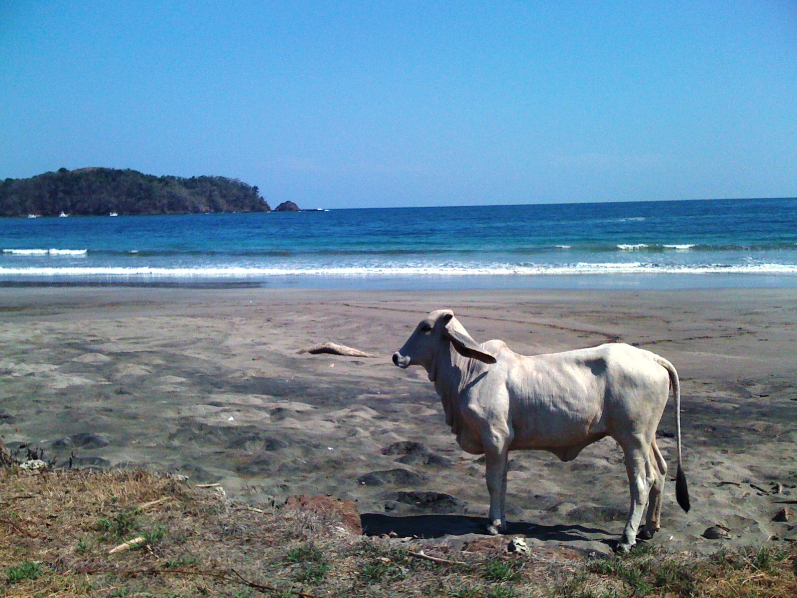
Photo: Jackiemora01, CC BY-SA 3.0 · source

Where it is
Playa Carrillo, Puerto Carrillo, Hojancha, Guanacaste — 8 km south-east of Sámara on Route 160
Navigate · Opens Google Maps directions to this beach's access point, not to the middle of the bay.
Frequently asked questions
How far is Playa Carrillo from Sámara?
About 8 km, or fifteen minutes by car on Route 160, paved the whole way. It is a reasonable bicycle ride on the flat coastal stretch, and taxis from Sámara run to it all day. Puerto Carrillo village and the airstrip are directly behind the beach.
Is there anywhere to eat at Playa Carrillo?
Not on the beach itself — nothing is built on the sand. There are sodas and a few restaurants up on the road behind the palms and in Puerto Carrillo village, but most people bring food. Toilets and showers are at the western end.
Can you snorkel at Playa Carrillo?
Not really. The bay is sandy-bottomed with little structure and the visibility is ordinary. For snorkelling on this coast, Isla Chora in Sámara bay is the local answer, reached by kayak or on a boat tour.
Beaches nearby
Calm · 0 min
Isla Chora
Isla Chora is the small island in Sámara bay, reached by kayak in about 40 minutes. Snorkelling, the sheltered side, the channel to avoid, and which tide to go on.
Read the beach page
Calm · 0 min · Beginner
Playa Sámara
Playa Sámara is a reef-protected bay on the Nicoya coast: flat water, beginner surf, shade and a town on the sand. Currents, tides, parking and the best months.
Read the beach page
Not safe for swimming · 45 min · Advanced
Playa Camaronal
Playa Camaronal is a national wildlife refuge 45 minutes from Sámara where four turtle species nest. Nesting months, why nobody swims there, and what the road is like.
Read the beach page
Comments
No comments yet. If you have been recently, the road and the current are the two things worth telling us about.
Thank you — your comment is with us and will appear once it has been read.