Playa Sámara: the reef-protected bay that made this a swimming town
This page has not been translated yet — showing the English version.
Playa Sámara is a four-kilometre bay on the Pacific coast of the Nicoya Peninsula, protected by a reef across its mouth that takes the swell out of the water before it reaches the sand. That is why it is one of the few Costa Rican beaches where people swim rather than surf, and why the town behind it grew the way it did. The two ends of the bay are a different beach entirely — rips run out beside the western rocks and beside the river mouth at the eastern end.
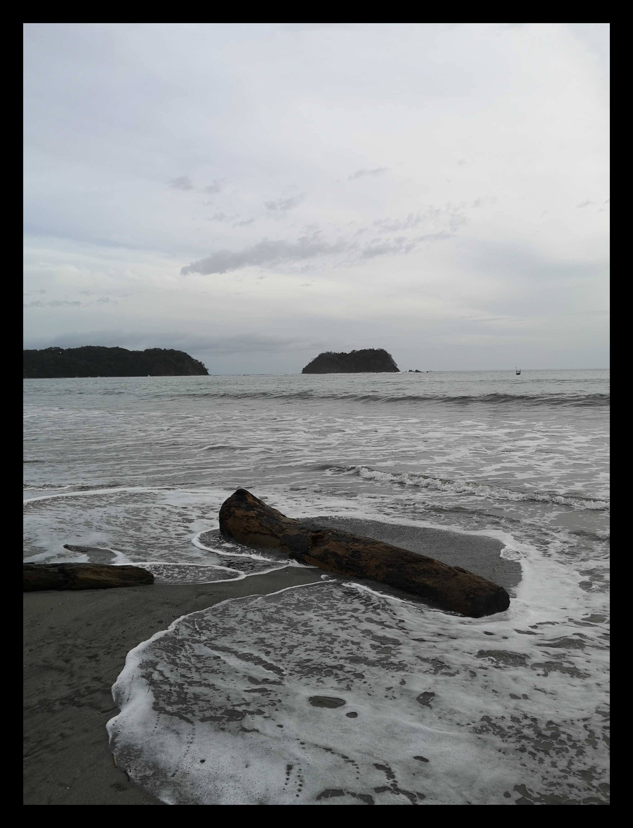
Photo: Julián Monge-Nájera, CC BY-SA 4.0 · source

Fakty
| Plávanie | Pokojné — väčšinu dní bezpečné |
|---|---|
| Trhavé prúdy | The reef across the bay mouth takes the swell out of the water, so the middle of the bay is flat. The two ends are not: rips run out beside the rocks at the western point and beside the river mouth at the eastern end. |
| Príliv a odliv | At low tide the water pulls back far enough to walk out towards Isla Chora on wet sand; at high tide the usable beach in front of the restaurants narrows to a few metres. |
| Surf | Začiatočníci — Small, slow and forgiving inside the reef — the reason every surf school in town teaches here |
| Šnorchlovanie | Nie |
| Voda | 28 °C |
| Ako sa tam dostať | Asfalt celú cestu — Route 150 ends at the sand; the last stretch through town is paved |
| Parkovanie | Free along the beach road and behind the restaurants; a guarded lot beside the football pitch charges a small fee in high season |
| Cesta zo Sámary | 0 min |
| Dĺžka | 4 km |
| Piesok | Pale grey-gold, firm enough to cycle on at low tide |
| Tieň | Áno |
| Plavčík | Nie |
| Bandera Azul | Áno |
| Vybavenie | Restaurants, Toilets, Showers, Surf schools, Kayak rental, ATM in town |
| Najlepšie mesiace | Dec–Apr for flat water and sun; Sep–Oct is green, wet in the afternoons and almost empty |
| Kde to je | Playa Sámara, Nicoya, Guanacaste — the beach the town is built along, 35 km south-west of Nicoya |
| GPS | 9.88170, -85.52860 |
Why is the water at Playa Sámara so calm?
Because of the reef. A line of rock runs across the mouth of the bay, from the headland in the west to Isla Chora in the east, and the Pacific swell breaks on it rather than on the beach. What reaches the sand inside is what is left over: knee-high, slow, and shelving so gradually that the water is waist-deep thirty metres out.
This is unusual on this coast. Almost every beach between here and Nicaragua faces open ocean and works as a surf beach first and a swimming beach second, if at all. Sámara is the other way round, and the difference shapes the whole town — the surf schools teach here because the waves are forgiving, and families come here because it is one of the few bays where a small child in the water is not a constant negotiation.
Where should you not swim?
The ends. At the western point the water runs out along the rocks, and at the eastern end the Rio Sámara empties into the bay and carries a current with it. Both are obvious once you are looking for them — the water surface goes flat and slightly darker where it is moving out — and neither is signposted. There is no lifeguard on this beach.
What else is there?
The beach is the town's main street. Restaurants back onto the sand along most of the central stretch, the places to eat are two minutes' walk from the water, and kayaks for the paddle out to Isla Chora launch from the eastern end. Sámara has held a Bandera Azul Ecológica rating — Costa Rica's audited national beach programme — which covers water quality and sanitation rather than scenery.
At low tide the sand hardens enough to cycle on, and the bay empties far enough that the walk towards the island is dry most of the way. At high tide the usable beach in front of the restaurants narrows to a few metres, which is worth knowing before carrying a day's kit down.
Fotky
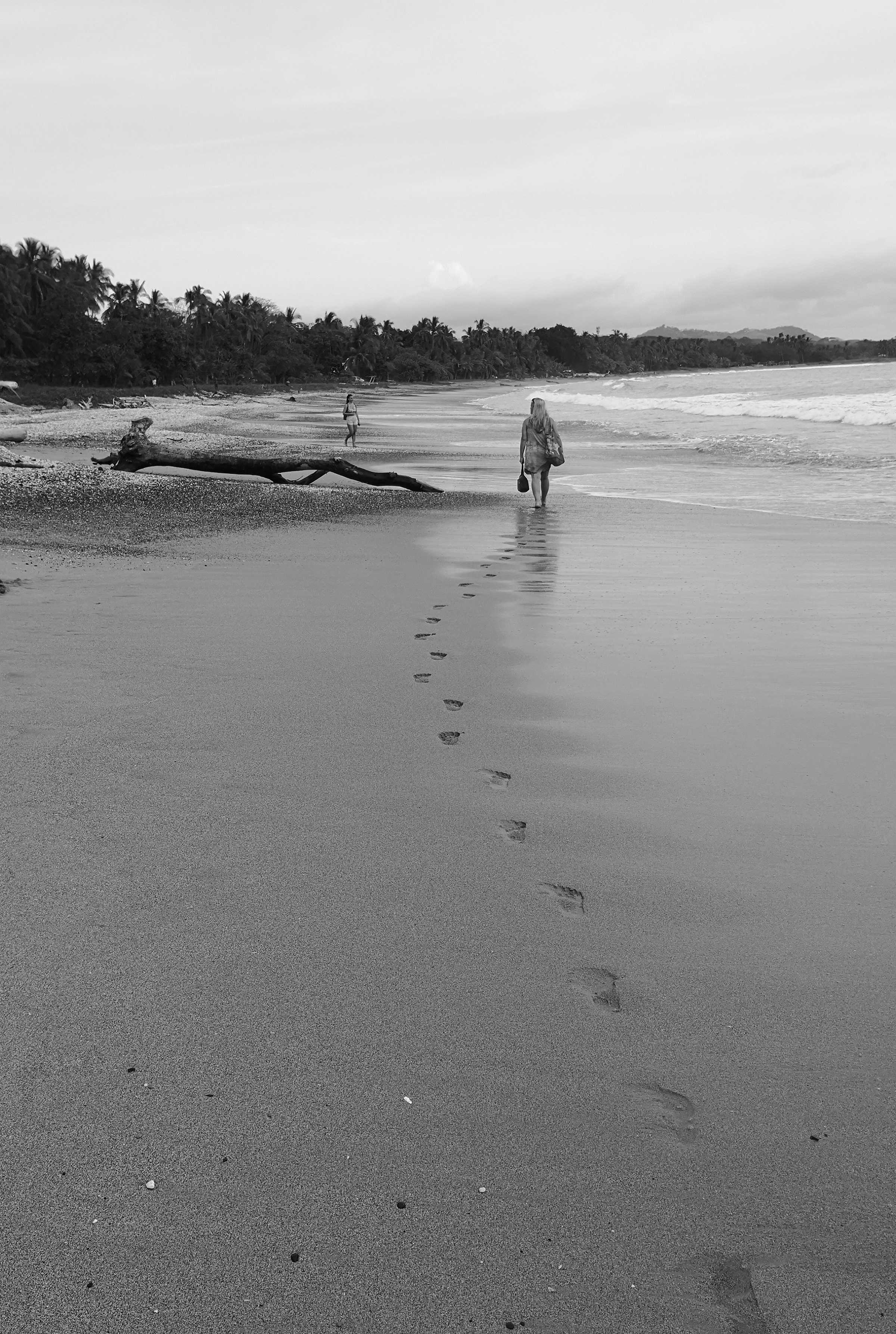
Photo: Julián Monge-Nájera, CC BY-SA 4.0 · source

Kde to je
Playa Sámara, Nicoya, Guanacaste — the beach the town is built along, 35 km south-west of Nicoya
Navigovať · Otvorí navigáciu Google Maps k prístupovému bodu pláže, nie doprostred zálivu.
Frequently asked questions
Is Playa Sámara safe for swimming?
In the middle of the bay, yes — the reef across the bay mouth means the water there is usually flat and shelves gently. The two ends are not: a rip runs out beside the western rocks and another beside the river mouth at the eastern end. There is no lifeguard, so stay in the central stretch in front of the town.
Can you learn to surf at Playa Sámara?
Yes, and it is one of the better places in Costa Rica to start. The reef leaves small, slow, forgiving waves inside the bay, which is why several surf schools operate directly off the beach. Experienced surfers usually drive twenty minutes to Playa Buena Vista instead, where the swell arrives unfiltered.
How do you get to Playa Sámara?
Route 150 runs from Nicoya to the sand and is paved the whole way — about 35 km, or 45 minutes. From Liberia airport it is roughly three hours, from San José five. Buses run daily from Nicoya, and there is a small airstrip at Carrillo, fifteen minutes away.
Pláže v okolí
Pokojné · 0 min
Isla Chora
Isla Chora is the small island in Sámara bay, reached by kayak in about 40 minutes. Snorkelling, the sheltered side, the channel to avoid, and which tide to go on.
Otvoriť stránku pláže
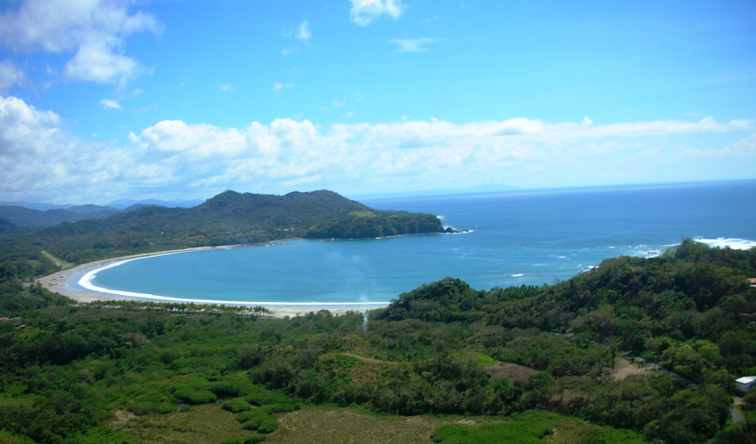
Pokojné · 15 min
Playa Carrillo
Playa Carrillo is the calm, palm-backed crescent 8 km from Sámara — no development on the sand, free parking in the shade, and flat water. What to know before going.
Otvoriť stránku pláže
Zmiešané · 20 min · Začiatočníci
Playa Buena Vista
Playa Buena Vista is the open beach 8 km north of Sámara where the surf schools go when the bay is flat. Road conditions, shore break, tides and when to go.
Otvoriť stránku pláže
Komentáre
Zatiaľ žiadne komentáre. Ak ste tam boli nedávno, cesta a prúd sú dve veci, ktoré stoja za správu.
Ďakujeme — komentár máme a objaví sa, keď ho niekto prečíta.